Funchal
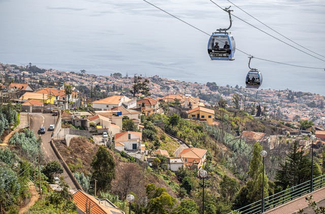
Capital city, deepwater cruise berths, and south bay amphitheater.
Shows cruise berths alongside, harbour chop, and low cloud inside the bay bowl. When grey cloud settles over Funchal, coastal positions to the west often remain dry.
Sheltered sand bay, industrial harbor, and Ponta de São Lourenço trail base.
Porto Santo live views: island overview · beach at Ribeiro Cochinho
Machico sand beaches, Caniçal fishing docks, low aircraft flyovers, and Porto Santo golden sands.
Showing 10 / 10
Practical travel and observation notes for Southeast Coastal Shelf & Desertas (0 m - 300 m (beach waterline to coastal headlands)).
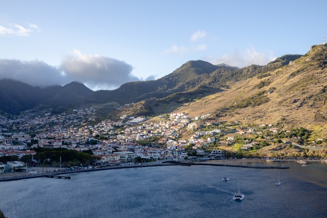
Machico is one of Madeira's safest family swimming beaches; check the camera for yellow sand occupancy and easterly wind chop.
Climatic transition between the green south and the arid eastern peninsula. Machico sits in a deep volcanic valley that shields its imported yellow sand beach from northern and westerly winds. Santa Cruz has open trade breezes and clear views toward the uninhabited Desertas Islands. Caniçal is notably drier with semi-arid scrub vegetation and brisk offshore breezes.
In frame: Sand beach bather occupancy, water calm inside the breakwaters, and cloud conditions across the Machico valley.
Limitations: Wind speed and trail exposure out on the Ponta de São Lourenço peninsula (PR8). The headland is completely treeless and frequently suffers 40-60 km/h wind gusts while Machico town remains gentle.
To Ponta de São Lourenço trailhead (PR8): 10-12 min from Machico via VR1 and ER109 (10 km).
Machico Beach has a large municipal pay lot adjacent to the sandy beach and river mouth, filling on warm summer weekend afternoons. Santa Cruz promenade provides plentiful street parking near the municipal market. The Ponta de São Lourenço trailhead lot (PR8) fills completely by 08:45 in summer; €3 paid entry fee is managed by IFCN.
Beach water quality analysis, lifeguard schedules, and municipal notices
Official €3 entrance permit and open/closed trail advisory for PR8
Maritime bulletins and coastal shipping warnings
Peak elevations: official Portuguese cartography (IGeoE). The airport runway is at Santa Cruz, over the sea. Local time: Atlantic/Madeira.
contact@webcammadeira.comIt stays dry. The southeastern corridor around Machico and Caniçal remains essentially shielded from the brutal northerly Atlantic weather systems. Wind shear happens. The structural pillars of the airport runway often experience intense crosswinds that will violently rock your vehicle if you park too closely. Imported sand helps. Machico features a completely artificial golden beach protected by heavy basalt breakwaters, offering one of the few reliably calm swimming zones on this side. Check the swell. The natural rock access at Reis Magos is heavily favored by locals but requires careful timing during low tide to avoid the sharpest underwater volcanic ridges. Warmth builds here. Expect ambient temperatures to consistently sit two or three degrees higher than the northern coast, making this area a highly reliable fallback location.
Capital city, deepwater cruise berths, and south bay amphitheater.
Shows cruise berths alongside, harbour chop, and low cloud inside the bay bowl. When grey cloud settles over Funchal, coastal positions to the west often remain dry.
High volcanic crest separating northern and southern weather systems.
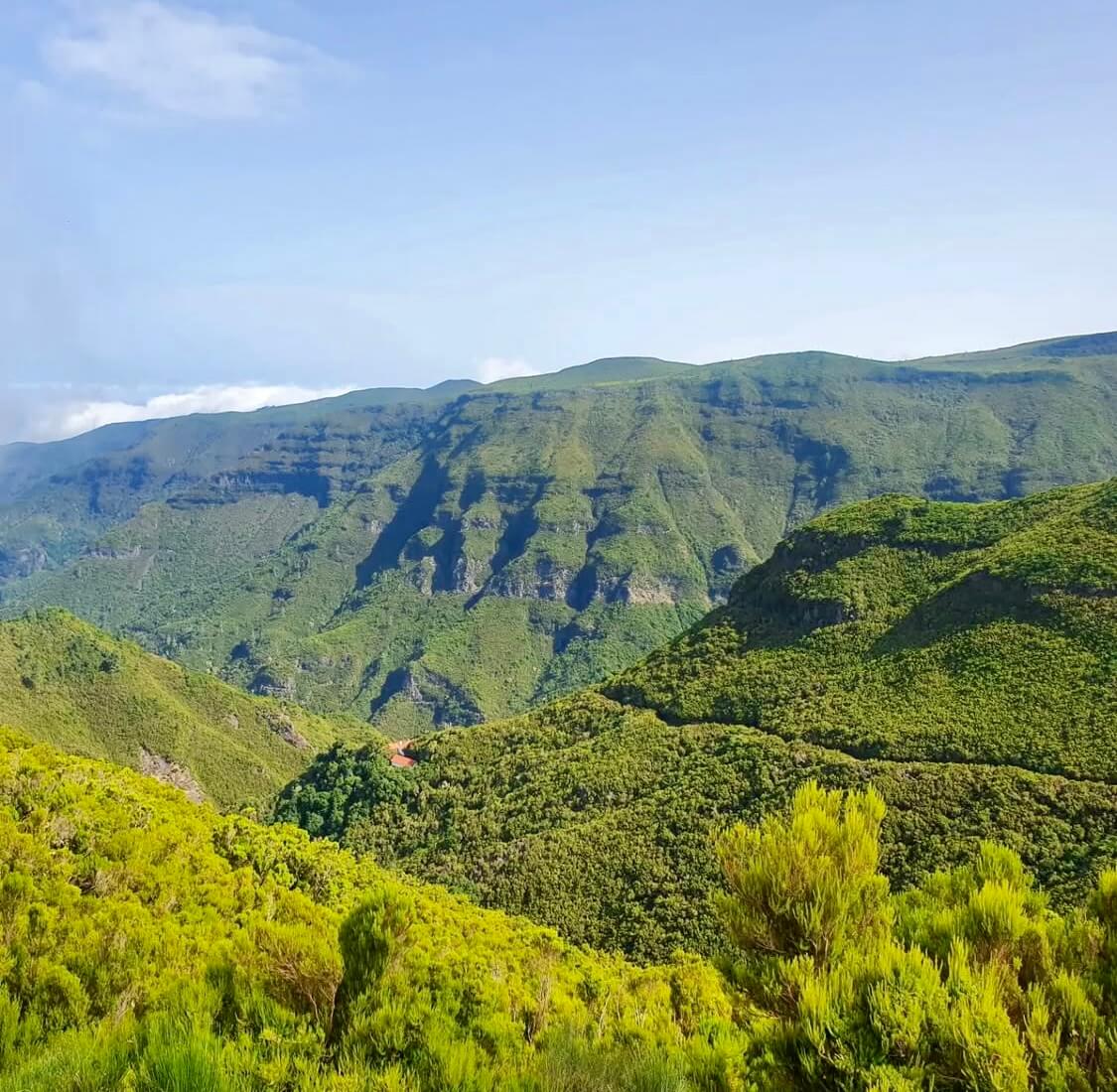
Pico do Areeiro at 1,818 m and Pico Ruivo at 1,862 m show whether trade-wind cloud sits trapped below 1,400 m. Clear summits do not guarantee calm air or open trail access along PR1.
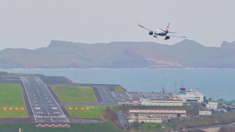
The runway at Santa Cruz, built out over the sea. Not your gate, your bag, or the delay.
The picture is the runway and the approach. It is not your gate, your bag, or whether the flight is late. White water means a bumpy landing.
Coastal wave checks across western point breaks and northern beach lines.
Jardim do Mar and Paul do Mar show breaking wave sets on boulder reefs, while Seixal reveals the black sand surf line. Useful for reading lineup shape, but a camera still is never a marine safety clearance.
Basalt cliffs, volcanic rock pools, and black sand beaches.
Displays ocean spray over Porto Moniz natural pools and Seixal beach. Dense white foam over the outer barrier often signals overwash risk across the swimming platforms.
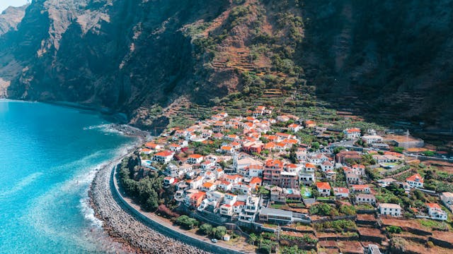
Terraced valleys, coastal headlands, and traditional cliffside communities.
Santana, Faial, and São Jorge capture moist trade-wind air pushing ashore. Low mist often covers rural ridges here while the south coast enjoys clearer skies.
Warmest leeward coastal belt sheltered by the Paul da Serra plateau.
Ponta do Sol, Calheta, and Madalena do Mar frequently stay bright when Funchal and northern valleys sit under cloud. A clear feed here marks a reliable choice for outdoor warmth.
Ponta de São Lourenço Gateway & Fishing Port
18 mImage by Madeira-Web Places Live
Banda d’Além Sand Beach · Machico Bay
6 mImage by Madeira-Web Beaches Live
Porto Santo 9 km Golden Sand Beach
5 mImage by Beachcam
Porto Santo Airport & Volcanic Hills
100 mImage by NetMadeira
Machico
Image by Madeira-Web Places Live
Santo da Serra High Plateau (667 m)
667 mImage by Clube de Golf Santo da Serra
Caniço
Image by Madeira-Web Beaches Live