Funchal
Capital city, deepwater cruise berths, and south bay amphitheater.
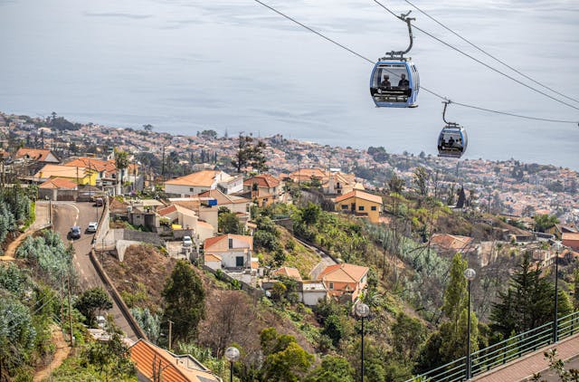
Shows cruise berths alongside, harbour chop, and low cloud inside the bay bowl. When grey cloud settles over Funchal, coastal positions to the west often remain dry.
Warmest leeward coastal belt sheltered by the Paul da Serra plateau.
Live sunshine, marina basins, and ocean conditions from Ponta do Sol to Paul do Mar.
Showing 6 / 6
Practical travel and observation notes for Southwest Sun Shelf & Terraces (0 m - 400 m (beach groynes to banana cliff terraces)).
Head to Ponta do Sol or Calheta for warm beach weather; note that tall cliffs cast shadow over Ponta do Sol 45 to 60 minutes before ocean sunset.
The warmest and driest microclimate zone in Madeira. Massive cliffs (Cabo Girão at 580 m and Ponta do Sol headlands) and the Paul da Serra plateau (1,400 m) block northern moisture. Annual rainfall is under 600 mm compared to 3,000 mm on the north coast. Evening cliff shadow: towering vertical basalt cliffs directly behind Ponta do Sol and Madalena do Mar cause direct sunlight to cut off 45 to 60 minutes before the astronomical sea sunset.
In frame: Direct sunlight presence, beach occupancy at Calheta, and sea conditions inside the curved breakwaters.
Limitations: Ocean water temperature (ranges from 18°C in February to 23°C in September) or strong offshore rip currents outside the artificial breakwater groynes.
From Calheta to Rabaçal (PR6 25 Fontes trailhead): 20-25 min via ER222 climbing onto Paul da Serra.
Calheta Sand Beach has two large municipal pay lots on either side of the marina, filling completely by 11:30 during July, August, and sunny weekend afternoons. Ponta do Sol village center has very limited street parking (~30 spaces total); use the oceanfront bridge parking. Jardim do Mar is strictly pedestrianized; all vehicles must park in the municipal lot at the village entrance (~60 spaces).
Maritime safety bulletins and south coast sea swell warnings
Beach blue-flag status, marina services, and local municipal notices
Daily UV index ratings, air temperatures, and coastal forecast
Peak elevations: official Portuguese cartography (IGeoE). The airport runway is at Santa Cruz, over the sea. Local time: Atlantic/Madeira.
contact@webcammadeira.comSunshine is guaranteed. The southwestern coastline from Calheta up to Paul do Mar represents the absolute warmest climatic zone available across the island. The cliffs retain heat. The massive vertical rock faces absorb thermal energy all day, radiating it back out over the pebble beaches late into the evening. Check the lagoons. Calheta uses massive artificial protective walls to maintain calm water over imported Moroccan sand, but the parking infrastructure is regularly overwhelmed by 11:00 on summer weekends. Surfing involves risk. The exposed winter swells generate heavy, hollow reef breaks that demand extreme respect due to the treacherous shallow entry points populated by sea urchins. Total isolation exists. Escaping the capital heat to sit with the localized fishing community in Jardim do Mar offers absolute acoustic separation from standard tourist routes.
Capital city, deepwater cruise berths, and south bay amphitheater.
Shows cruise berths alongside, harbour chop, and low cloud inside the bay bowl. When grey cloud settles over Funchal, coastal positions to the west often remain dry.
High volcanic crest separating northern and southern weather systems.
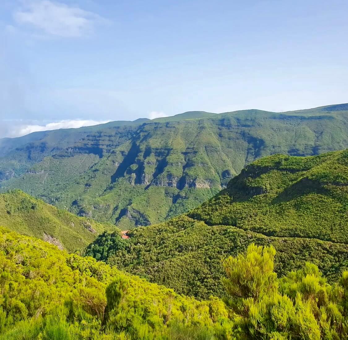
Pico do Areeiro at 1,818 m and Pico Ruivo at 1,862 m show whether trade-wind cloud sits trapped below 1,400 m. Clear summits do not guarantee calm air or open trail access along PR1.
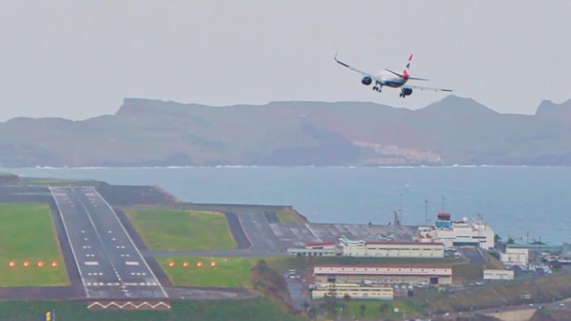
The runway at Santa Cruz, built out over the sea. Not your gate, your bag, or the delay.
The picture is the runway and the approach. It is not your gate, your bag, or whether the flight is late. White water means a bumpy landing.
Coastal wave checks across western point breaks and northern beach lines.
Jardim do Mar and Paul do Mar show breaking wave sets on boulder reefs, while Seixal reveals the black sand surf line. Useful for reading lineup shape, but a camera still is never a marine safety clearance.
Basalt cliffs, volcanic rock pools, and black sand beaches.
Displays ocean spray over Porto Moniz natural pools and Seixal beach. Dense white foam over the outer barrier often signals overwash risk across the swimming platforms.
Terraced valleys, coastal headlands, and traditional cliffside communities.
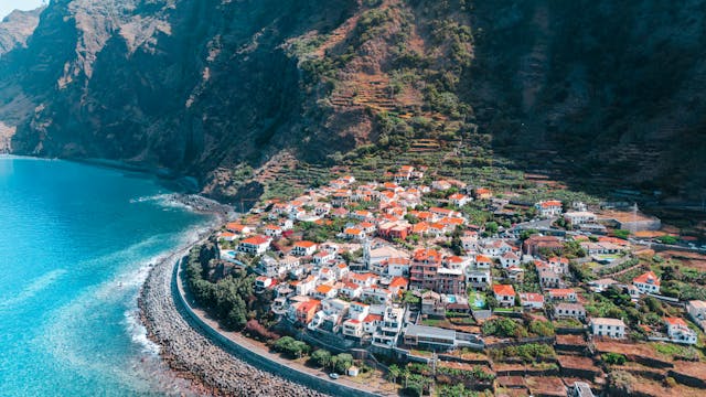
Santana, Faial, and São Jorge capture moist trade-wind air pushing ashore. Low mist often covers rural ridges here while the south coast enjoys clearer skies.
Sheltered sand bay, industrial harbor, and Ponta de São Lourenço trail base.
Covers Machico bay, Caniçal cargo berths, and Santa Cruz. Machico water is usually calm during northerly swells, but remains vulnerable to easterly wind chop.
Ponta do Sol
Image by Madeira-Web Places Live
Madalena do Mar
Image by Madeira-Web Places Live
Calheta Imported Golden Sand & Marina Basin
5 mImage by Madeira-Web Beaches Live
Highest Sea Cliff Skywalk in Europe (580 m)
580 mImage by Madeira-Web Places Live
South Coast Promenade & Valley Mouth
8 mImage by Madeira-Web Places Live
Paul do Mar
Image by Madeira-Web Places Live