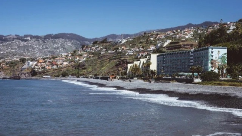
Funchal
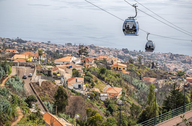
Capital city, deepwater cruise berths, and south bay amphitheater.
Shows cruise berths alongside, harbour chop, and low cloud inside the bay bowl. When grey cloud settles over Funchal, coastal positions to the west often remain dry.
Live webcams grouped across eight distinct sectors of Madeira and Porto Santo. Because the volcanic ridge climbs from sea level to 1,862 meters, weather conditions diverge sharply within a few kilometers. Check these 67 feeds to confirm cloud levels, runway winds, and ocean swell before traveling.
Capital city, deepwater cruise berths, and south bay amphitheater.
Shows cruise berths alongside, harbour chop, and low cloud inside the bay bowl. When grey cloud settles over Funchal, coastal positions to the west often remain dry.
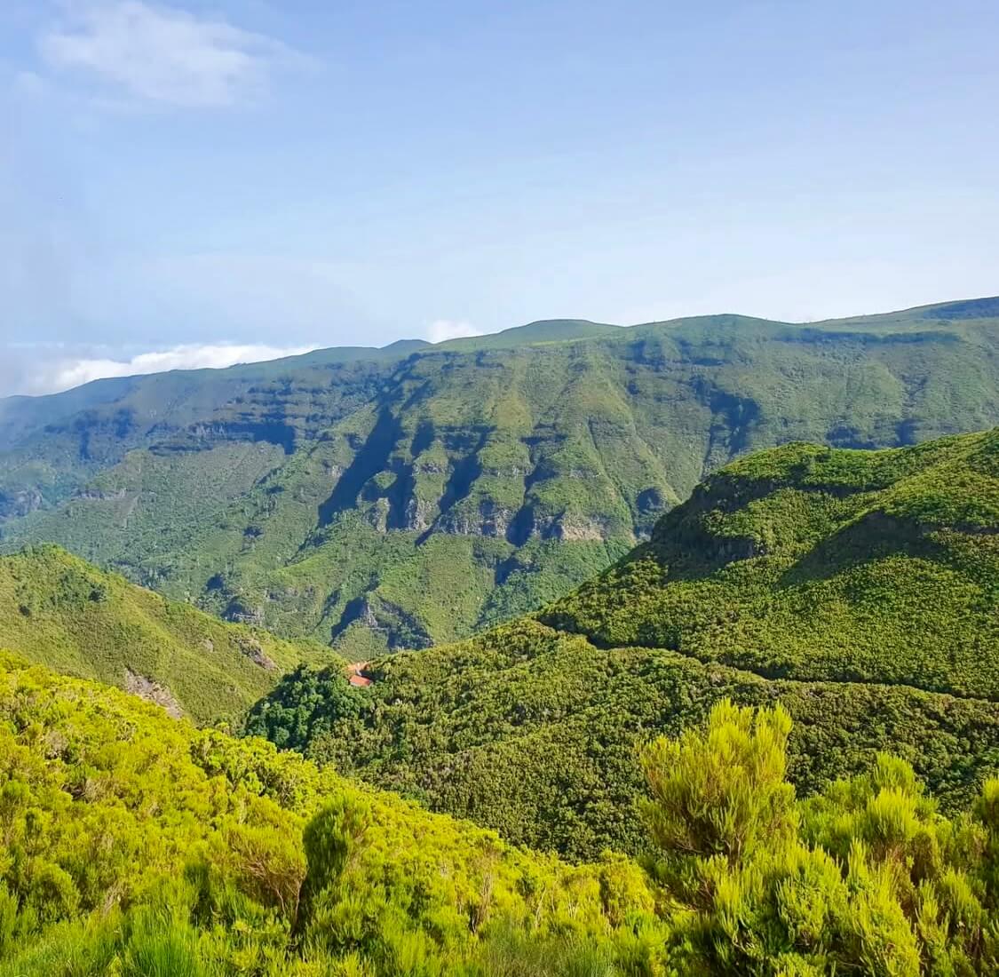
High volcanic crest separating northern and southern weather systems.
Pico do Areeiro at 1,818 m and Pico Ruivo at 1,862 m show whether trade-wind cloud sits trapped below 1,400 m. Clear summits do not guarantee calm air or open trail access along PR1.
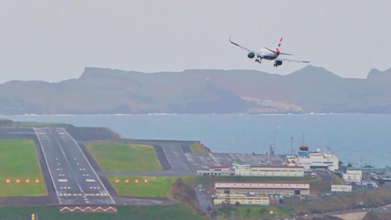
The runway at Santa Cruz, built out over the sea. Not your gate, your bag, or the delay.
The picture is the runway and the approach. It is not your gate, your bag, or whether the flight is late. White water means a bumpy landing.
Coastal wave checks across western point breaks and northern beach lines.
Jardim do Mar and Paul do Mar show breaking wave sets on boulder reefs, while Seixal reveals the black sand surf line. Useful for reading lineup shape, but a camera still is never a marine safety clearance.
Basalt cliffs, volcanic rock pools, and black sand beaches.
Displays ocean spray over Porto Moniz natural pools and Seixal beach. Dense white foam over the outer barrier often signals overwash risk across the swimming platforms.
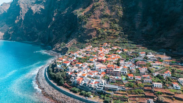
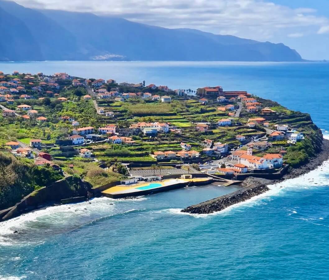
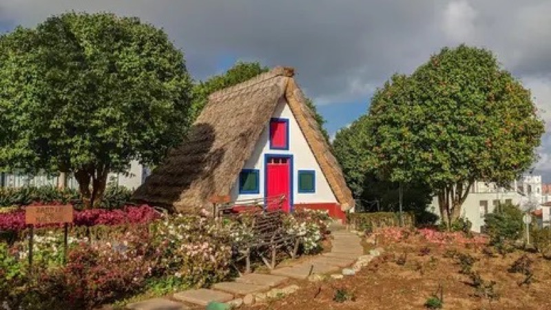
Terraced valleys, coastal headlands, and traditional cliffside communities.
Santana, Faial, and São Jorge capture moist trade-wind air pushing ashore. Low mist often covers rural ridges here while the south coast enjoys clearer skies.
Sheltered sand bay, industrial harbor, and Ponta de São Lourenço trail base.
Covers Machico bay, Caniçal cargo berths, and Santa Cruz. Machico water is usually calm during northerly swells, but remains vulnerable to easterly wind chop.
Warmest leeward coastal belt sheltered by the Paul da Serra plateau.
Ponta do Sol, Calheta, and Madalena do Mar frequently stay bright when Funchal and northern valleys sit under cloud. A clear feed here marks a reliable choice for outdoor warmth.
Quick visual checks across the island's distinct weather zones before heading out.
South and southwest coasts sit sheltered behind the high mountain massifs. The north coast absorbs direct Atlantic swell energy, while northeast and southeast shores face incoming trade-wind sea breezes.
Sea-level beaches and 1,800 m peaks frequently record opposite weather at the same minute. Trade-wind cloud layers between 800 and 1,400 m can shroud middle slopes while the summits enjoy unobstructed sunshine.
A live camera gives you immediate visual certainty before you set off. Checking the runway or coastal waters lets you find the sunniest spot on the island today, alongside official weather forecasts.
Peak elevations: official Portuguese cartography (IGeoE). The airport runway is at Santa Cruz, over the sea. Local time: Atlantic/Madeira.
contact@webcammadeira.com