Funchal
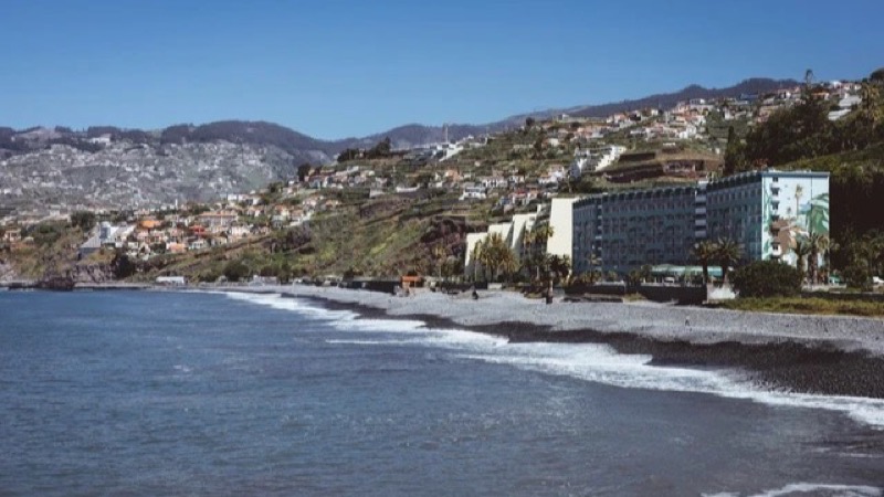
Capital city, deepwater cruise berths, and south bay amphitheater.
Shows cruise berths alongside, harbour chop, and low cloud inside the bay bowl. When grey cloud settles over Funchal, coastal positions to the west often remain dry.
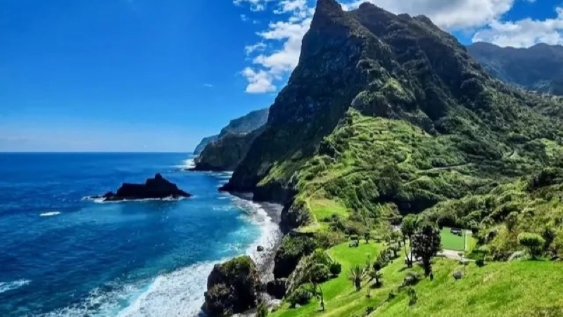
Basalt cliffs, volcanic rock pools, and black sand beaches.
5-minute snapshot and live monitoring for natural ocean pools, sea spray, and volcanic headlands.
Showing 13 / 13
Practical travel and observation notes for North Coast & Laurissilva Swell (0 m - 600 m (sea level to Laurissilva cliff line)).
Inspect the Porto Moniz outer pool barrier on camera; if white foam is washing across the outer concrete rim, municipal lifeguards will close pool gates.
Direct windward maritime microclimate exposed to North Atlantic low-pressure systems and northeast trade winds. Rainfall is 3 to 4 times higher than the south coast. Lush Laurissilva vegetation descends directly to sea level. Swells from the north and northwest commonly reach 2.5 to 5.0 meters between October and April. Long-period groundswells (14 to 18 seconds) produce violent wave overtopping on seawalls even under clear blue skies.
In frame: Atlantic wave heights, white water breakers against volcanic rock walls, and cloud ceilings along the coastal cliffs.
Limitations: Pool opening clearance and lifeguard flags. A sunny camera angle does not guarantee pool access. Long-period swells can surge over sunbathing platforms without warning. Always obey municipal lifeguard flags and entrance gates.
VE4 tunnel expressway links Ribeira Brava to São Vicente in under 12 minutes through the central mountain spine.
Porto Moniz has several pay parking lots around the seafront that fill between 11:30 and 15:30 as tour buses arrive. Seixal black sand beach has an extremely steep single-lane access road; the small harbor lot holds only ~25 cars and causes severe traffic jams when full (park along the upper village road instead). São Vicente seafront offers ample free promenade parking.
Daily opening status, water quality, and ticket pricing for natural volcanic pools
North coast high-swell maritime alerts (Aviso de Agitação Marítima)
Significant wave height, period in seconds, and swell direction for Madeira North
Peak elevations: official Portuguese cartography (IGeoE). The airport runway is at Santa Cruz, over the sea. Local time: Atlantic/Madeira.
contact@webcammadeira.comExpect heavy fog. The northern coastline takes the absolute primary impact of the prevailing northeast trade winds hitting the island. Jackets are required. You might leave a perfectly warm morning in Funchal only to find yourself shivering relentlessly beside the pebble beaches of São Vicente. The waves punish. Winter storms push massive walls of water directly into the steep cliffs, making coastal walks dangerous due to sudden rockfalls and localized flooding. Topography dictates everything. The deep valleys channel intense wind funnels straight down from the high plateaus, rapidly changing the atmospheric pressure and visibility within minutes. Look at cameras. Never commit to the drive over the central pass without verifying the visual conditions, because zero-visibility cloud banks frequently paralyze the winding descent routes indefinitely.
Capital city, deepwater cruise berths, and south bay amphitheater.
Shows cruise berths alongside, harbour chop, and low cloud inside the bay bowl. When grey cloud settles over Funchal, coastal positions to the west often remain dry.
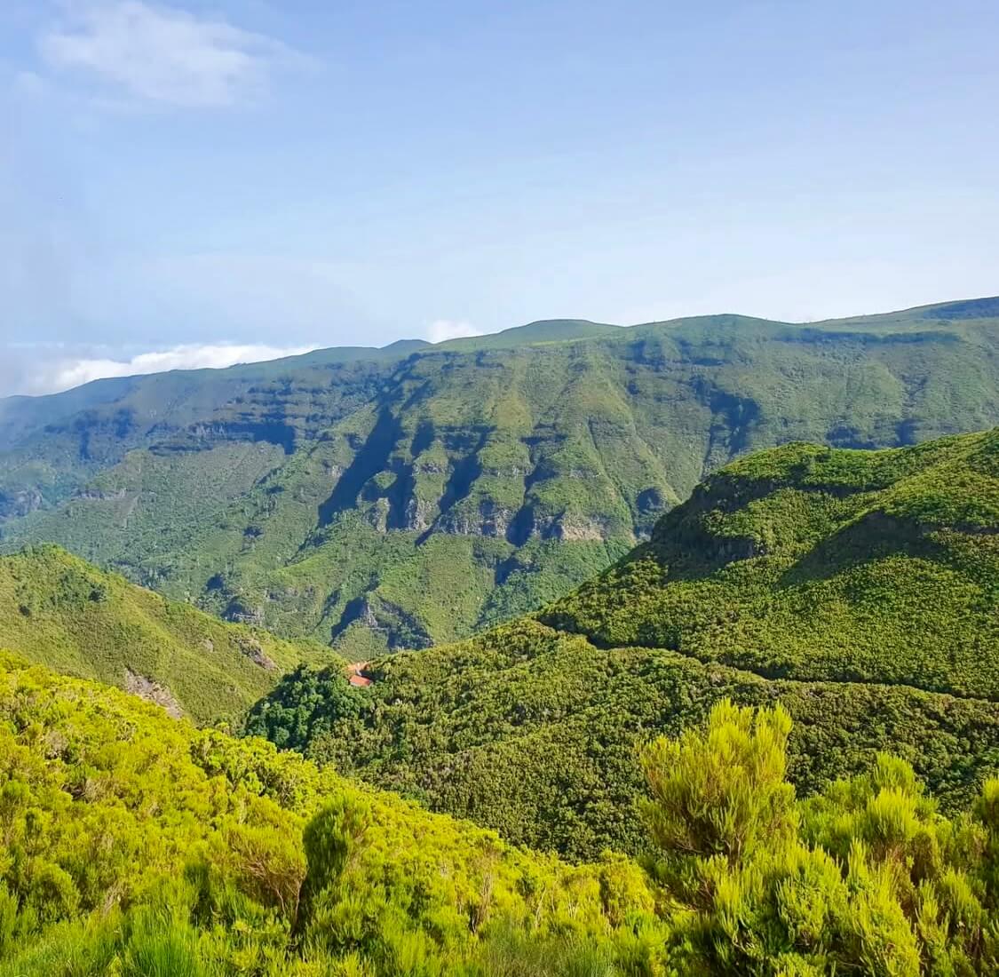
High volcanic crest separating northern and southern weather systems.
Pico do Areeiro at 1,818 m and Pico Ruivo at 1,862 m show whether trade-wind cloud sits trapped below 1,400 m. Clear summits do not guarantee calm air or open trail access along PR1.
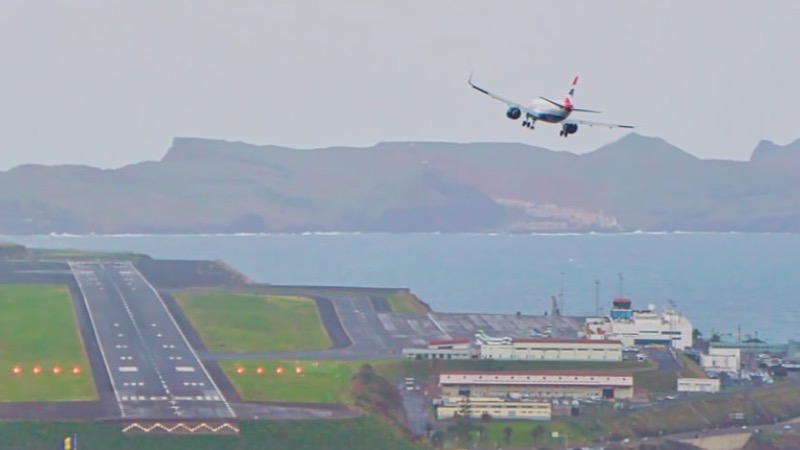
The runway at Santa Cruz, built out over the sea. Not your gate, your bag, or the delay.
The picture is the runway and the approach. It is not your gate, your bag, or whether the flight is late. White water means a bumpy landing.
Coastal wave checks across western point breaks and northern beach lines.
Jardim do Mar and Paul do Mar show breaking wave sets on boulder reefs, while Seixal reveals the black sand surf line. Useful for reading lineup shape, but a camera still is never a marine safety clearance.
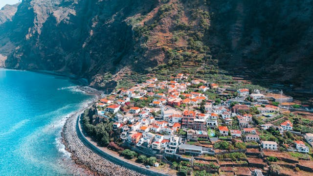
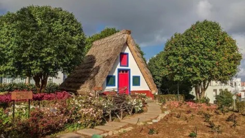
Terraced valleys, coastal headlands, and traditional cliffside communities.
Santana, Faial, and São Jorge capture moist trade-wind air pushing ashore. Low mist often covers rural ridges here while the south coast enjoys clearer skies.
Sheltered sand bay, industrial harbor, and Ponta de São Lourenço trail base.
Covers Machico bay, Caniçal cargo berths, and Santa Cruz. Machico water is usually calm during northerly swells, but remains vulnerable to easterly wind chop.
Warmest leeward coastal belt sheltered by the Paul da Serra plateau.
Ponta do Sol, Calheta, and Madalena do Mar frequently stay bright when Funchal and northern valleys sit under cloud. A clear feed here marks a reliable choice for outdoor warmth.
Ponta Delgada Tidal Swimming Complex
12 mImage by Madeira-Web Places Live
Porto Moniz Village & Lava Pools Overlook
100 mImage by Madeira-Web Places Live
Praia do Porto do Seixal · Surf & Bathing
5 mImage by Madeira-Web Beaches Live
Miradouro do Guindaste & Praia do Faial
15 mImage by Madeira-Web Places Live
Porto da Cruz
Image by Madeira-Web Beaches Live