Funchal
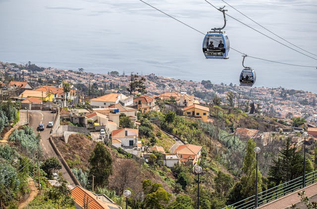
Capital city, deepwater cruise berths, and south bay amphitheater.
Shows cruise berths alongside, harbour chop, and low cloud inside the bay bowl. When grey cloud settles over Funchal, coastal positions to the west often remain dry.
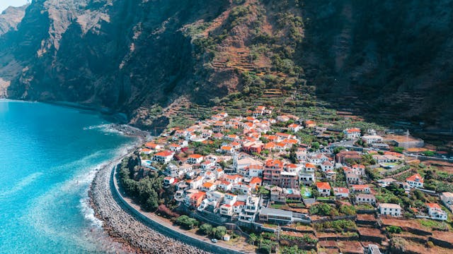
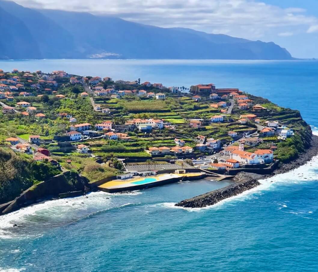
Terraced valleys, coastal headlands, and traditional cliffside communities.
This page is the northeast coast. Beach and pool cameras from the whole island, including Seixal and Porto Moniz, are on the Madeira beach live cams page. Madeira beach live cams
Traditional thatched roofs, Guindaste skywalk lookouts, and moisture-rich trade wind slopes.
Showing 7 / 7
Practical travel and observation notes for Northeast Wild Coast & Santana (0 m - 800 m (sea level to rural Santana plateaus)).
Morning coastal cloud (capacete) often burns off by midday around Porto da Cruz and Faial; check the Penha d'Águia view on camera.
Direct windward exposure to Atlantic northeast trade winds (alísios). The dramatic topography features massive vertical cliffs such as Penha d'Águia (590 m). High moisture levels sustain lush agricultural terraces, sugar cane cultivation in Porto da Cruz, and traditional thatched houses in Santana. Morning low stratus clouds (capacete) frequently hug coastal bluffs, often clearing into bright sunny spells by early afternoon.
In frame: Coastal cloud base against Penha d'Águia, ocean wave swell at Alagoa beach, and general visibility over the valleys.
Limitations: Rain conditions inside deep inland levada canyons. A clear camera at Porto da Cruz does not guarantee dry hiking on PR9 Caldeirão Verde or PR18 Levada do Rei, which sit inside deep humid mountain gorges. Always check IFCN status.
To Queimadas Forest Park (PR9 Caldeirão Verde start): 10 min drive from Santana center via Caminho das Queimadas.
Porto da Cruz seafront has decent parking near Alagoa surf beach and the historic rum distillery (Engenhos do Norte). Santana traditional houses area has central municipal visitor parking. Queimadas Forest Park (PR9 trailhead) has limited dirt parking that fills before 09:00 for the Caldeirão Verde walk; €3 daily municipal parking fee applies.
Official trail status and paid entrance permits for PR9 Caldeirão Verde and PR18 Levada do Rei
Biosphere Reserve information, local event notices, and municipal facilities
Weather bulletins and rainfall probabilities for Madeira North and East
Peak elevations: official Portuguese cartography (IGeoE). The airport runway is at Santa Cruz, over the sea. Local time: Atlantic/Madeira.
contact@webcammadeira.comSilence requires driving. The rural northeastern corners around Porto da Cruz and Faial sit far removed from the heavily commercialized southern tourist developments. Surf conditions change. The unique angles of the coastline here catch extremely specific wave sets that bypass the southern island completely. Heritage sits exposed. The agricultural terraces literally cling to near-vertical slopes, taking direct continuous hits from the salt spray and relentless trade winds. The roads twist. Navigating the blind corners and steep inclines requires significant concentration, especially when morning mists drastically reduce your forward sightlines. Confirm the weather. Because this sector essentially creates its own isolated microclimate, trusting any generalized island forecast app will consistently lead you into heavy, localized squalls originating over the rough Atlantic waters.
Capital city, deepwater cruise berths, and south bay amphitheater.
Shows cruise berths alongside, harbour chop, and low cloud inside the bay bowl. When grey cloud settles over Funchal, coastal positions to the west often remain dry.
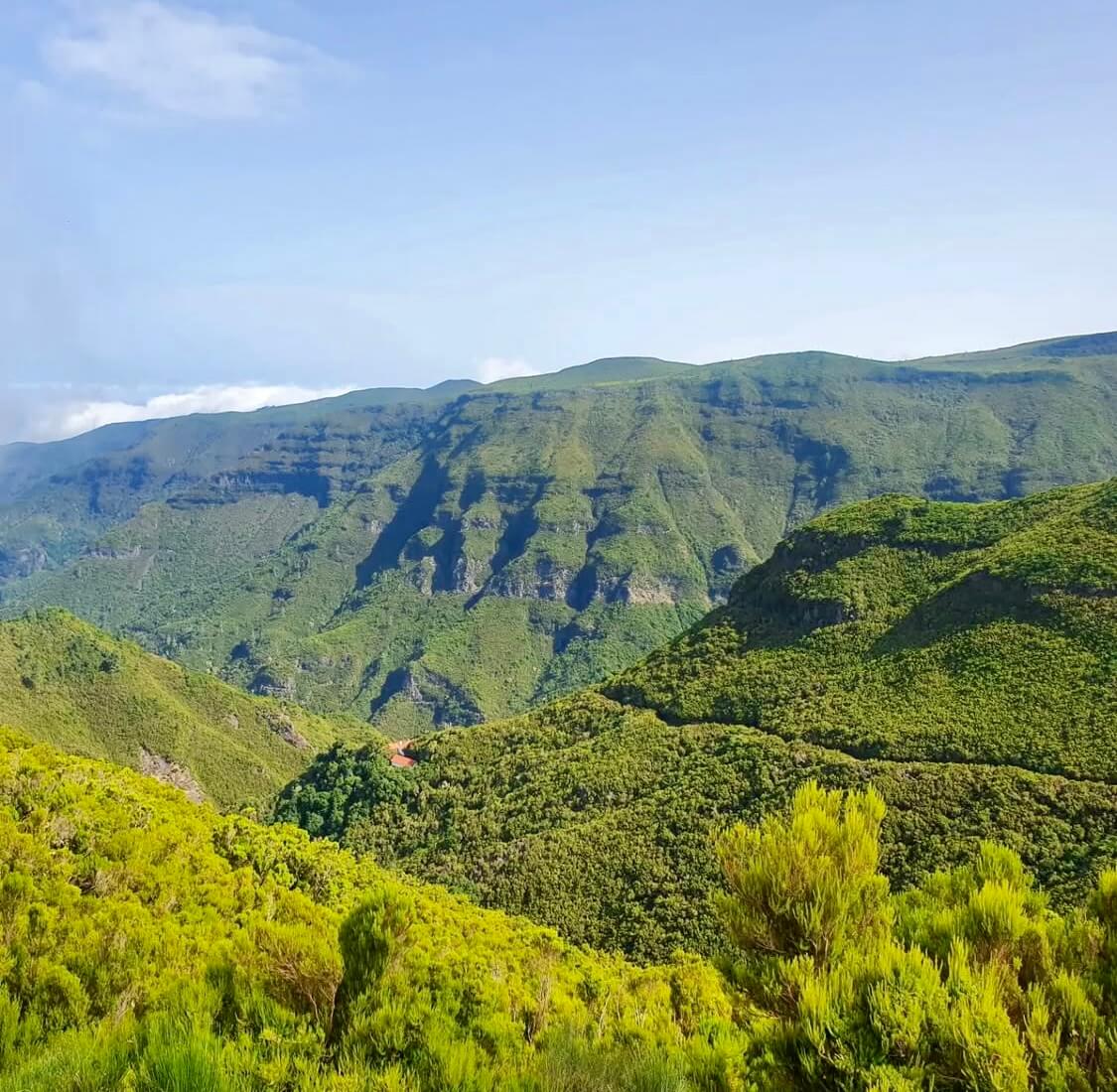
High volcanic crest separating northern and southern weather systems.
Pico do Areeiro at 1,818 m and Pico Ruivo at 1,862 m show whether trade-wind cloud sits trapped below 1,400 m. Clear summits do not guarantee calm air or open trail access along PR1.
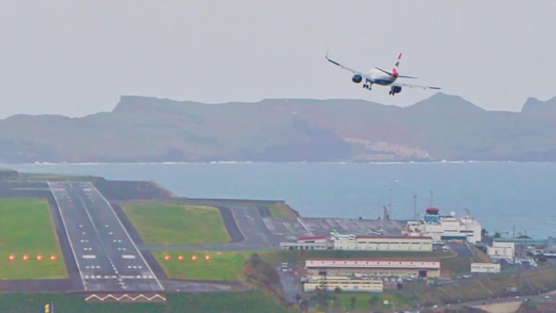
The runway at Santa Cruz, built out over the sea. Not your gate, your bag, or the delay.
The picture is the runway and the approach. It is not your gate, your bag, or whether the flight is late. White water means a bumpy landing.
Coastal wave checks across western point breaks and northern beach lines.
Jardim do Mar and Paul do Mar show breaking wave sets on boulder reefs, while Seixal reveals the black sand surf line. Useful for reading lineup shape, but a camera still is never a marine safety clearance.
Basalt cliffs, volcanic rock pools, and black sand beaches.
Displays ocean spray over Porto Moniz natural pools and Seixal beach. Dense white foam over the outer barrier often signals overwash risk across the swimming platforms.
Sheltered sand bay, industrial harbor, and Ponta de São Lourenço trail base.
Covers Machico bay, Caniçal cargo berths, and Santa Cruz. Machico water is usually calm during northerly swells, but remains vulnerable to easterly wind chop.
Warmest leeward coastal belt sheltered by the Paul da Serra plateau.
Ponta do Sol, Calheta, and Madalena do Mar frequently stay bright when Funchal and northern valleys sit under cloud. A clear feed here marks a reliable choice for outdoor warmth.
Miradouro do Guindaste & Praia do Faial
15 mImage by Madeira-Web Places Live
Porto Moniz Village & Lava Pools Overlook
100 mImage by Madeira-Web Places Live
Praia do Porto do Seixal · Surf & Bathing
5 mImage by Madeira-Web Beaches Live
Porto da Cruz
Image by Madeira-Web Beaches Live
Porto da Cruz
Image by Madeira-Web Beaches Live