Achada do Teixeira, 1,592 m
Cloud on the plateau, and the start of the 2.8 km walk to Pico Ruivo
Getting there
A rental car takes the ER 218. The regional roads register lists that road as Santana (ER 213) to Achada do Teixeira, 9,800 m. That is the length of the regional road, not a driving time from Funchal. The entry is dated 18 November 2016 and was still the page online on 7 October 2026.
A taxi uses the regional meter. The second amendment to Convenção n.º 1/2019, in force on 6 February 2026, sets the flag at €4.00 by day and €4.80 at night for a 4-seat car. The flag covers the first kilometre. After that it is €0.10 every 65 m by day, or every 52 m from 21:00 to 06:00 and all day on Saturday, Sunday and holidays. That document does not publish a fixed price to Achada do Teixeira. Waiting, luggage (€1.50) and an empty return are extra.
Parking
Visit Madeira’s PR 1.2 page, the IFCN fee FAQ and the Câmara Municipal de Santana tourism page do not state a price or a number of spaces for the lot at the trailhead. A space count is unconfirmed, and so is any claim that the lot is free.
Portaria n.º 801/2025 prices the car park at Miradouro do Pico do Areeiro. It does not name Achada do Teixeira, so that hourly rate is not this lot.
Lower on the same ER 218, the IFCN forest park at Pico das Pedras lists public parking. Toilets there are listed as paid. That park is not the start of PR 1.2. The park page was updated on 27 February 2025.
Bus
No public timetable read on 7 October 2026 puts a bus at Achada do Teixeira.
The SIGA Santana network names 801 Funchal / Santana (the old 56), 803 Santana / Achada do Cedro Gordo, and 804 to Arco de São Jorge and to Lombo Galego. Achada do Cedro Gordo is a different stop. The timetable tool on that page says it is still being built, so no clocks are copied here.
A search on the Horários do Funchal site for Achada do Teixeira returned no results. Their Pico do Areeiro bus stays on the Areeiro road. SIGA names the operators as Horários do Funchal, SIGA Rodoeste and CAM. Rodoeste’s site does not name this plateau. SAM’s site did not answer, so no SAM timetable is quoted.
PR 1.2 to Pico Ruivo
The IFCN list, updated 2 October 2026, marks PR 1.2 Vereda do Pico Ruivo as open: 2.8 km, plus 2.8 km back, from Achada do Teixeira to Pico Ruivo.
Visit Madeira’s trail page calls the difficulty Médio and gives 1h30 for the round trip, 2.8 km out and 5.6 km there and back. The same site’s Pico Ruivo page says the PR 1.2 is a walk of about 45 minutes and does not say whether that is one way. Use the trail card for the time, and read both pages again if they still disagree.
Visit Madeira says you pay through SIMplifica to visit this area. The IFCN fee FAQ, updated 2 June 2026, sets an individual classified trail other than PR1 at €4.50 in 2026 for a visitor without a protocol. That is the figure for PR 1.2 on its own. Residents of the Region do not pay, children aged 12 or under do not pay, and a person with an incapacity of 60% or more, plus one accompanying legal tutor, does not pay. The FAQ says they still book. Booking is only on SIMplifica, not at the trailhead.
The trail page names the rock Homem em pé at the start, and shelters along the walk for sudden weather. It also prints an altitude of 1,857 m / 1,852 m, which does not match the 1,862 m summit in the same text. That altitude line is left out.
The PR1 crossing
PR1 Vereda do Areeiro is the crossing from Pico do Areeiro to Pico Ruivo, 6.1 km on the IFCN list. The west route is the one by the tunnels. The east route, by Pico das Torres, is marked closed.
The status line on the 2 October list says the path runs both ways between Pico do Areeiro and Miradouro da Pedra Rija, and the sentence stops there. The fee FAQ still says that from Pedra Rija to Pico Ruivo the path is one way, Areeiro toward Ruivo, and that you leave by PR 1.2 to Achada do Teixeira or by PR 1.1 to Ilha. PR 1.3 is not that exit while it stays closed. Read both pages before you book.
The full PR1 ticket is €10.50. The FAQ says that ticket includes PR 1.2, so you do not pay a second trail fee to walk down to the plateau. The €4.50 ticket that stops at Pedra Rija does not cover the rest. IFCN does not bring you back to the car at Pico do Areeiro. The June FAQ said the full crossing would be open every day from 26 June 2026. The October list does not put a weekend-only limit back on the page.
What the picture is for
The still on this page is NetMadeira’s camera on the plateau. It shows whether that ground is in cloud.
Visit Madeira says this walk can put you in a sea of clouds or above it, and that the weather turns fast. A grey plateau means the start of PR 1.2 is in cloud. The picture is not a forecast, and it is not an IFCN closure.
Sources, read 7 October 2026
Who runs the camera
- Achada do Teixeira, 1,592 mImage by NetMadeira
When to leave Funchal
Leave early. The ridge is 10 to 15 degrees colder than Funchal.
Leave Funchal byfor tomorrow
| Funchal | ~50 min | 06:46 |
| Caniço | ~45 min | 06:51 |
| Machico | ~35 min | 07:01 |
50 min from Funchal plus 25 min to park and walk. Planning buffers on this page, not a published driving time.
Summit temperature: 7°C. Plan on 10 to 15 degrees warmer in Funchal. This line is not a Funchal reading. 13 km/h. Felt temperature significantly lower.
Summit Parking Alert: On a clear morning the upper car park is often full about 45 minutes before sunrise. Use a marked lower car park and walk up. The ER202 verge is not a space.
PR1 return plan
- Two-way only as far as Miradouro da Pedra Rija. Past that, one-way toward Pico Ruivo: you cannot walk back to this car. You can still walk out on PR1.2 to Achada do Teixeira, or on PR1.1 down to Ilha. PR1.3 to Encumeada is closed.
- If you walk up to Pico Ruivo on PR1.2, you can walk back to the car in this car park. Do not continue to Areeiro on PR1.
- Horários do Funchal runs two trips a day from Teleférico-Término (4A), and it does not stop in Caniço. Up at 06:00 and 13:30, at the Areeiro car park at 06:40 and 14:10. Down from the radar roundabout at 12:15 and 19:00 through 24 October 2026. From 25 October 2026 through 27 March 2027 the last trip down is 18:00. The fare is €3 on board. A separate €1.20 shuttle runs every 15 minutes among CAM Florestal, the car park and the radar, and it leaves only with at least 4 people. In the winter timetable the afternoon window ends at 18:00. Achada do Teixeira has no public bus. Walking there is still possible. A bus from there is not. Horários do Funchal timetable.
- Non-residents: save the Simplifica receipt before you lose signal. €4.50 to Pedra Rija, then walk back to the car. €10.50 for the full crossing to Pico Ruivo. That €10.50 ticket covers the walk down PR1.2. An official closure overrides the booking.
- Licensed taxi back, one way, tariff 4, 4 seats. Day: €4.00 covers the first 1 km, then €0.10 every 65 m. Night, Saturday, Sunday and public holidays: €4.80, then €0.10 every 52 m. Each line is a named drop-off, then road km, the day amount, and the night amount. Slow traffic, luggage and an empty return are extra. Not a meter quote.
- Madeira Airport · 29.5 km · €47.85 · €59.61
- Monte, Largo da Fonte · 39.9 km · €63.85 · €79.61
- Sé cathedral · 49.0 km · €77.85 · €97.11
- Funchal cruise port · 50.4 km · €80.00 · €99.80
- Lido · 51.8 km · €82.15 · €102.49
Official Portuguese notice: ABERTO Percurso nos dois sentidos entre o Pico do Areeiro e o Miradouro da Pedra Rija; ENCERRADO Percurso com sentido único entre o Miradouro da Pedra Rija e o Pico Ruivo
Some trail records still say €3.00. The permits page says €4.50 for non-residents. Check Portaria n.º 801/2025 before you pay. Tariff verified 2026-10-06. IMT taxi convention.
Official Mountain Trail Status
The forestry service has posted a limit. Read the sign at the start.
Official tableTwo-way hiking is permitted between Pico do Areeiro and Miradouro da Pedra Rija. From Pedra Rija to Pico Ruivo, the trail is ONE-WAY ONLY. You cannot hike back to Areeiro via this section. Eastern route (Pico das Torres) is closed.
An open notice is not a weather forecast. Fog and wind change quickly up here. Look at the camera before you drive.
Official Gazette Source- The view
- The plateau at the end of the road above Santana, about 1,592 m, including the start of the stone path.
- Useful for
- See if Achada do Teixeira is in cloud before you drive the ER218 for the walk to Pico Ruivo.
- It will not show
- The summit of Pico Ruivo is 2.8 km further and is not in the picture.
- A clear plateau does not mean the stone path is dry.
- The camera
- Image by NetMadeira
- Getting there
- ER218 from Santana, about 30 minutes, steep. The car park at the top fills on clear mornings.
Is the path in the picture grey? If it is, the ridge is in cloud.
If the path in the picture is grey, the ridge is in cloud. Do not drive up for a view.
The camera looks at the car park and the start of the walk, not the radar dome. You cannot walk back from Pedra Rija.
Pack a windproof jacket and sturdy footwear; summit wind chill and lower temperatures require warm layers.
When to go
Achada do Teixeira, 1,592 m
- About 10 to 15 degrees colder than Funchal.
- If the path is grey, the ridge is in cloud.
- The wind on the open path is stronger than in the car park.
- There is no shade once you leave the car park.
- Elevation
- 1592
- Coordinates
- 32.7500, -16.9167
- Region
- Achada do Teixeira
- Camera
- Live picture
The view
What to look for
Santana can be mild while this plateau is 10°C and blowing. If the picture is a grey wall, you will be walking in cloud. If the ground and the start of the path are visible, the plateau is out of it. That is the check worth making before the climb up the ER218.
What to look for
- •Whether the plateau is in cloud before you drive up.
- •If the start of the path is visible at all.
- •How busy the turning area already looks.
- •A clear coast is not a clear summit.
Highlights
- ✓The high plateau at the end of the ER218.
- ✓The start of the stone path toward Pico Ruivo, when the cloud allows it.
- ✓Wind and grey, or a gap above the cloud.
- ✓Not the summit itself. That is 2.8 km further.
Mountain Weather
Central Mountain Massif
- If the path is grey, the ridge is in cloud.
- Temperatures often 10-15°C lower than coast
- High probability of high-velocity wind gusts
- Risk of rapid visibility degradation
Achada do Teixeira Weather
Central Massif Eastern Flank
- At 1,592m altitude, expect cold winds and temperature drops of 10°C compared to the coast
- Starting point for the PR1.2 trail to Pico Ruivo, Madeira's highest peak at 1,862m
- Fog can roll in without warning, reducing visibility to a few meters within minutes
- Check trail conditions before setting off from the parking area
Landscape & geography
Above the trees
This is the out-and-back. You can return to the same car. The long crossing from Pico do Areeiro is a different walk, and part of that ridge is one-way. Do not plan to finish at Areeiro unless someone is collecting you, and do not plan to walk back to Areeiro once you are past Pedra Rija.
Related Views
3 webcams in Mountains
Browse all Mountains webcams →
Visitor logistics
The drive and the fee
- Fee: If you do not live on Madeira and you are 12 or over, pay €4.50 on Simplifica before you start. Save the receipt. Phone signal on the plateau is patchy.
- At the top: There is a small snack bar and toilets by the car park. Water for the walk is your own problem. The hut is a rest, not a shop.
- Clothes: A jacket that actually stops wind. A sunny Santana forecast is not a forecast for 1,592 m.
A Local Guide
Madeira Live Right Now
Funchal can be sunny while the high car parks are in cloud.
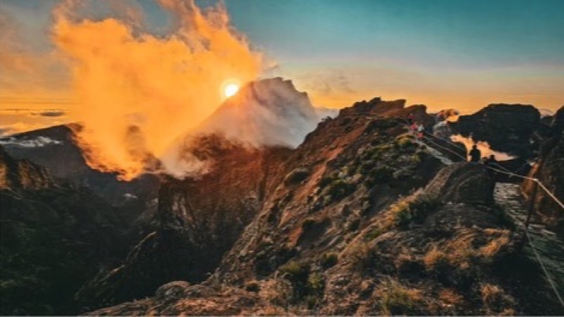
Pico do Areeiro
The camera looks at the start of the PR1
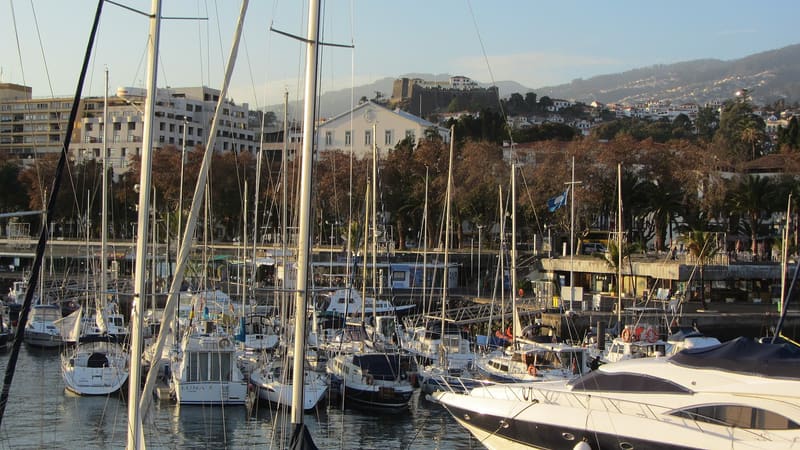
Funchal Marina & Bay
Sunny harbor, amphitheater city, and cruise terminal
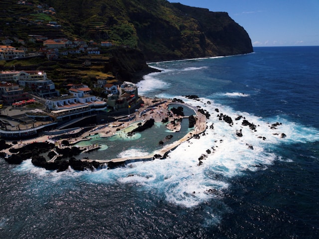
Porto Moniz Volcanic Pools
Natural lava rock pools and North Atlantic swell
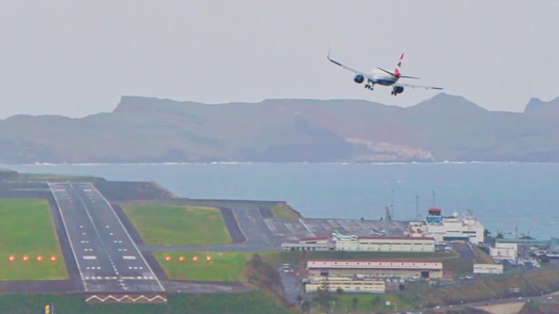
Madeira Airport Runway
The runway over the sea. Not your gate or the delay.
Summit Sunrise & Dawn Planner
Daily elevation-adjusted solar times and Funchal departure schedule for today, tomorrow, or upcoming vacation planning.