Nature
The laurel forest, from the cameras that face it
The UNESCO laurisilva is the green north. Santana and Fajã da Areia show the weather on that side, not a trail map.
·
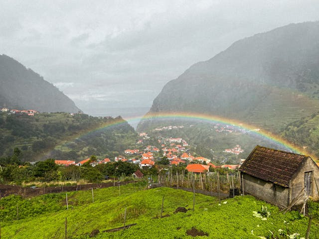
Madeira's laurel forest, the laurisilva, is the old evergreen cover on the north side of the island. It is a UNESCO site. The walks inside it are damp, rooty, and often under cloud when Funchal is in sun. Ribeiro Frio is the easy entry. Longer levadas go deeper and need the same booking rules as any classified trail.
There is no camera inside the forest canopy. The useful frames are on the edge. Santana looks at the north-coast town below the forest. Fajã da Areia looks at the São Vicente side, where the valley is green and the sea is close. If both are in rain, a forest walk will be a wet walk. If Pico do Arieiro is clear, the ridge above the forest may still be a better plan. Compare them before you commit to the drive.
The walks are listed in the trails directory. Permits, when they apply, are on SIMplifica.
Related Articles
- Waterfalls you can actually check from here
Risco and 25 Fontes sit under the Rabaçal camera. The north-coast cascades show up around Seixal. There is no secret list.
- Santana, the thatched houses, and the north-coast camera
The triangular houses are in the town. The camera shows the weather on that side of the island before you drive.